A Risk-Informed Framework for Earthquake Ground Motion Hazard Assessment in NZ

Understanding earthquake ground shaking, or the earthquake ground motion (GM) hazard, is critical to understanding the earthquake risk for planning, design and development in New Zealand. There are several techniques for determining GMs for input into the planning and design of built infrastructure.  This report discusses some of these techniques and when they could be applied to projects to improve the understanding of earthquake GM hazards for planning and design. read more


Guideline for Assessing Technical Resilience of Three Waters Networks

Simplified assessment method

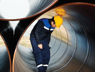
This guideline provides a framework for assessing technical resilience of three waters piped assets.

It has been prepared to support local authorities and the private sector (including asset managers, operators and engineers) at local and regional levels with assessing technical resilience and in developing strategies to improve network resilience, and inform pre-event planning and post-event emergency support and recovery. read more


Invasive Seismic Testing – A Summary of Methods and Good Practice

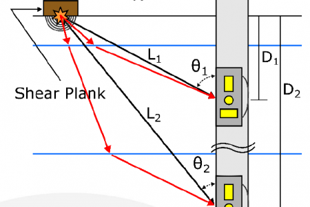
In the aftermath of the 2010-2011 Canterbury and 2016 Kaikōura earthquakes, invasive seismic testing has become more commonly used in geotechnical earthquake engineering. However, several critical aspects of both data collection and data processing are not well understood by either the contractors collecting and processing the data or the geotechnical engineers using the data. read more


Interpretation of Internal Erosion Susceptibility in a New Zealand Canal Embankment

New Zealand has over 3,000 earth embankment dams and canals, many of which were constructed prior to the evolution of modern granular filter criteria for dam design in the mid-1980s. Tekapo Canal is one such structure, constructed from 1971 to 1977 as a 26 km long conveyance canal, linking two hydropower stations in the inland Canterbury region. Tekapo canal is constructed of widely-graded soils of glacial origin. Challenges with material compaction and constructability were reported during construction. read more


Spatial Correlations of Underground Pipeline Damage in Christchurch

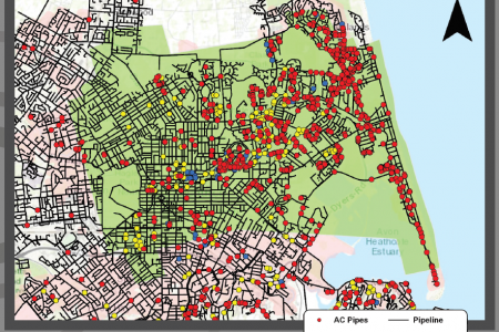
The Christchurch Earthquake Sequence of 2010-2011 caused extreme and widespread damage to the 3 waters pipe network of Christchurch. Most of this damage was caused by liquefaction and lateral spreading. Researchers and practitioners have learnt many lessons in assessing liquefaction damage from these experiences. This report develops tools to assess the potential for pipeline damage based on correlations with liquefaction-induced ground movement and CPT-based liquefaction metrics. The correlations can be used for pre-event estimates as well as post-event rapid triage of pipe damage. Key inputs to the assessment are pre and post-event LiDAR surveys; satellite imagery; CPT-based assessments of liquefaction vulnerability and Peak Ground Velocity (PGV). read more


Seismic Pressures on Retaining Walls

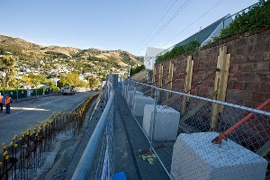
Context Learning from the Christchurch Earthquake sequence and other disasters has highlighted the need for New Zealand’s 3 Waters Services to be seismically resilient. In the context of these guidelines the key aspects of a resilient system are: Robust physical assets with key network routes having appropriate alternatives, and response arrangements in place Effective co-ordination